Popular Mountain Passes of India
 Last Updated: 07 Feb, 2019 By Arun Joshi
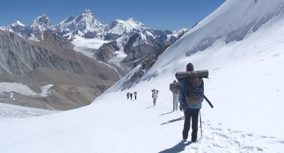
The high mountain passes in India are located in the Indian Himalaya. These alpine passes were once used as the sole gateways to the neighboring countries for trade, travel, migration and even for war. Today, these mountain passes attract several adventure aficionados like trekkers and mountaineers. India has also got the world’s highest motorable mountain passes in the form of Marsimik La (5679m) and Khardung La (5359m). Some of the mountain passes between India and China were also called ‘Silk Route’ as it is believed that Chinese silk was transported through these routes during the Han Dynasty. Today, these passes are the major attraction during trekking expeditions.
Mountain Passes in Ladakh
Karakoram Pass:
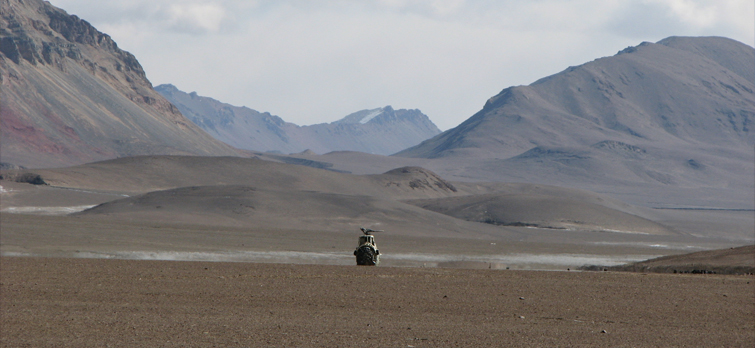
The Karakoram Pass is also known as the silk route of India. The pass is located at an elevation of 5,540 meters above sea level and is the part of the Karakoram Range of mountain along the Sino-Indian border. Karakoram Pass is reckoned to be a potential tripoint of India, Pakistan and China. The pass once rendered excellent trade facility between India and China.
Saser-La:
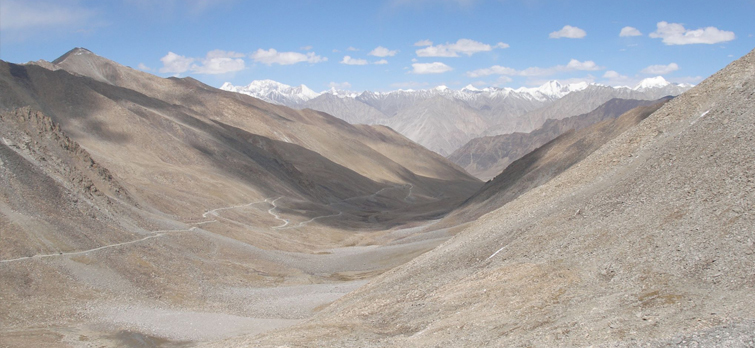
Saser La is situated 37kms southeast of Siachen Glacier and is also known as the pass of Golden sands. This pass is situated at an altitude of 5540m and connects Leh to Yarkand in the Tarim Basin (popularly called the summer caravan route). The trek for Saser La begins from Nubra Valley via Sasoma.
Phirtse-La:
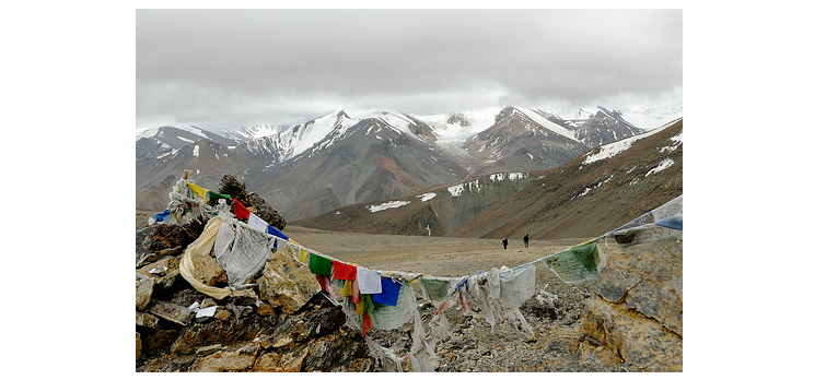
Phirtse La is situated at an altitude of 5,450 meters above sea level in Ladakh. It is one of the ideal mountain passes in India for trekking. The trek for this high pass begins from Darcha Village in Ladakh via Baralacha La.
Marsimik La:
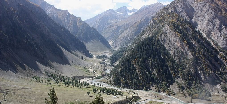
Marsimik La is officially the highest motorable pass in India. However, this high pass is only used by the Indian military and is in the inner line route. The pass is at an altitude of 5679m and is situated in the northeast of Khardung La, the second highest motorable pass in the world.
Chang-La:
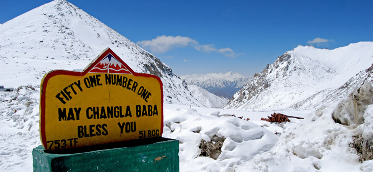
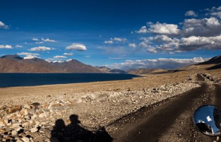
Chang La in Ladakh is also known as the Gateway to Pangong Lake. This high pass is situated at an altitude of about 5320m above sea level. It is a motorable route and remains busy in the peak season. The pass is close to attractions like Hemis Monastery.
Tanglang La:
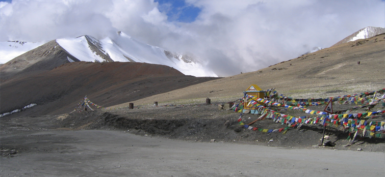
Tanglang La stands at an elevation of 5328m on Manali-Leh Highway. This high pass is situated in Zanskar Range of Ladakh region. The pass can be reached via 21 Gata Loops and there are two major human settlements i.e. Sarchu and Upshi. Near the pass, the nomadic tribe of Ladakh called Changpa can be spotted as well.
Khardung La:
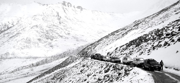
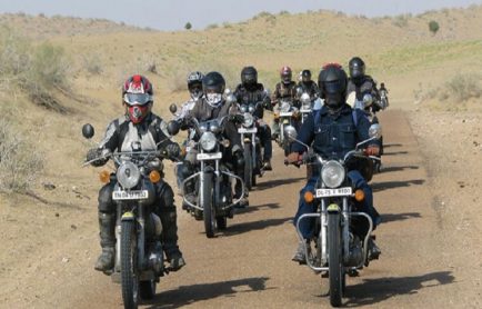
Khardung La is the most notable mountain pass in India. It is situated in the Ladakh region of Jammu and Kashmir. Standing at an elevation of 5359m above sea level, Khardung La is the second motorable highest mountain pass in India after Marsimik La. Famed for being the ideal place for biking expedition, this mountain pass can be reached by crossing Manali, Rohtang Pass, Baralacha Nakila, Lachung and Tanglang la on Manali – Leh Highway. Khardung La also connects Ladakh to Kargil.
Omasi La:
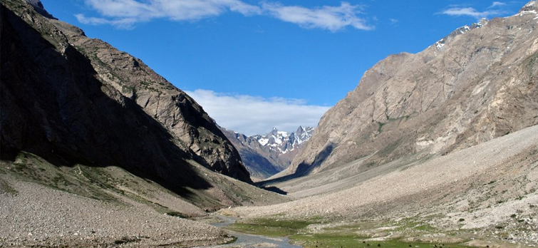
Omasi La is at an altitude of 5400m above sea level in the Ladakh region of Jammu and Kashmir. This mountain pass is also one of the least known passes in the region. Despite the fact that the land around the pass is barren, there is much to explore in terms of landscape and wildlife. There are few shepherds’ villages tucked near Omasi La, which are also the major attractions here.
Kanji-La:
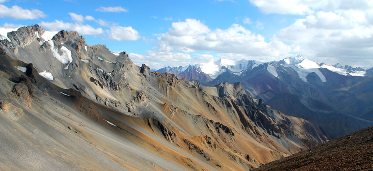
Kanji La is a lesser known pass in Jammu & Kashmir’s Ladakh region. The pass is situated at an altitude of 5470m and connects Kanji village with Rangdum village. The attractions near the pass are Kanji Valley and Rangdum Monastery. Attractions like Pensi La, Yogma La, Kanji Gorge, Karsha and Shilla village can be witnessed ahead of Kanji La.
Poad La:
Poad La is situated in Ladakh region and is situated at an altitude of 5490m above sea level. It is also an important mountain pass in the region as it connects Trans-Himalaya region with Zanskar region. The best way to reach Poad la is via Tiyul, which is a few hours’ drive from Padum. The major attraction on the way to Poad La is Mune Monastery and Bardan village.
Mountain Passes in Himachal Pradesh
Parang-La:
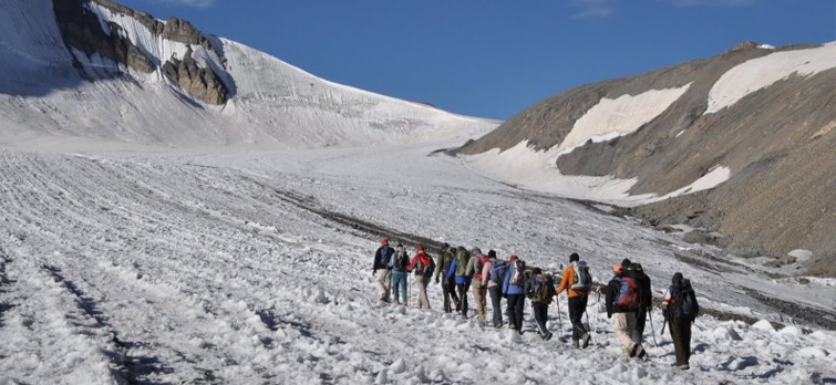
Parang pass or Parang La connects Himachal Pradesh to Leh. The pass is at an altitude of 5,500m and offers an exhilarating opportunity for trekking during the peak summer in India. From the top of the pass, the mesmeric view of Changthang valley and Spiti valley can be enjoyed.
Manirang-Pass:
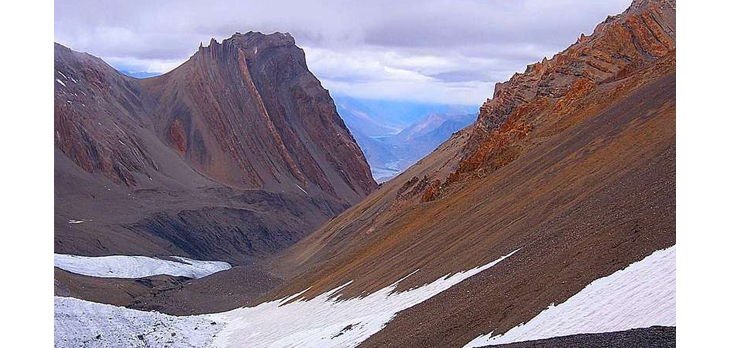
Manirang Pass is located in Himachal Pradesh at an altitude of 5355m above sea level. This pass is reckoned to be one of the least explored mountain passes in the Indian Himalaya. It connects the Kinnaur to Lahaul & Spiti region and was the ancient route of trade before it became motorable.
Ghunsarng Pass:
Ghunsarng Pass is situated at an altitude of 5600m above sea level in Himachal Pradesh. It is yet another good option for trekkers who like to explore off-beaten paths. Ghunsarng Pass is a lesser known mountain pass and has the same route that of Manirang Pass, which only diverts from Sopona. This high pass is used for trekking to Charang Ghati and remote villages of Himachal Pradesh like Labrang, Kannu and Morang.
Kugti Pass:
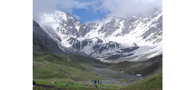
Kugti Pass stands at an altitude of 5050m in the Pir Panjal Range in Himachal Pradesh. This pass connects Bharmour region of Chamba district with Keylong in Lahaul Valley. Kugti Pass is also one of the best treks in Himachal Pradesh and the trail up to it is immensely beautiful with apple orchards, wide meadow areas and fringing lofty mountains.
Lamkhaga Pass:
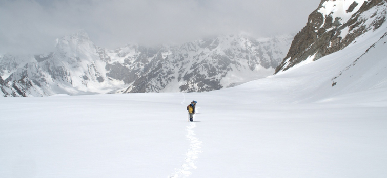
Lamkhaga Pass is an important pass as it connects Garhwal region of Uttarakhand to Himachal Pradesh. The pass is situated at an elevation of 5235m above sea level. Lamkhaga Pass can be reached through Harsil in Garhwal vie Kyarkoti and Sukha Tal. This mountain pass opens in the Sangla Valley area of Himachal Pradesh and via Dumti, Ranikanda and Chitkul one can reach Shimla.
Pin Parvati Pass:
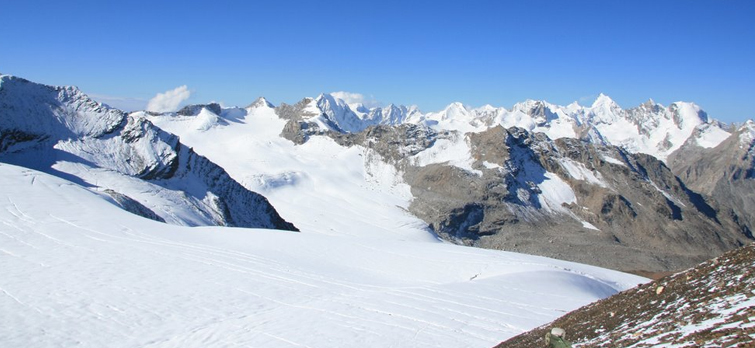
Pin Parvati Pass is a popular high mountain pass in Himachal Pradesh. The pass lies at an altitude of 5319m and connects Kullu Valley with Pin Valley. This high pass can be reached from Manikaran while via Khirganga, Thakur Kuan and Mantalai. Pin Parvati Pass is also reckoned as the shortest way to reach Spiti Valley from Kull Valley. The trek to Pin Parvati Pass is considered as a tough one.
Mountain Passes in Uttarakhand
The Borasu Pass:
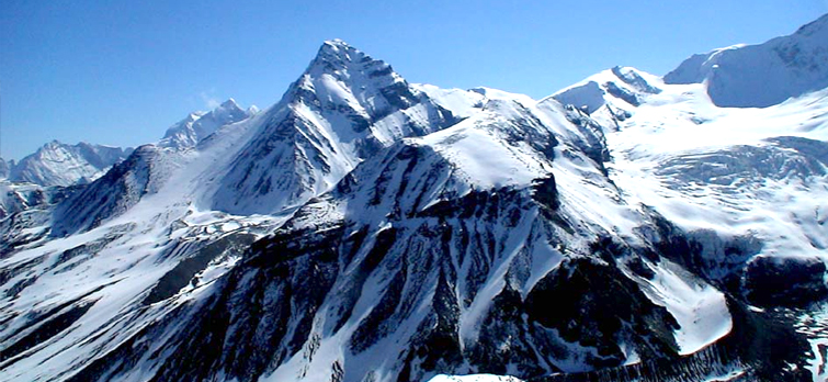
Borasu Pass is situated in the state of Uttarakhand and is considered to be one of the most popular mountain passes for trekking in India. The pass is located at an altitude of 5,450 meters above sea level in the Garhwal region. There are two routes to reach Borasu; one is from Osla via Manandi tal and second one is from Sankri that cover Seema, Har-ki-Dun valley.
Dhamdhar Kandi Pass:
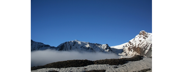
The Dhumdhar Kandi Pass is reckoned to be one of the most challenging passes in Garhwal region of Uttarakhand for trekking. This pass has several undulating topography, which is steep and dangerous for both ascent and descent. This pass is at an altitude of 5,300 meters above sea level and its highest point offers amazing vistas of the Gangotri mountain ranges and Banderpoonch glacier.
Kalindikhal-Pass:
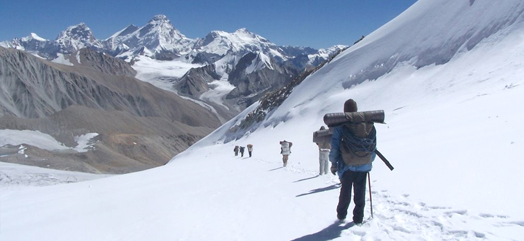
In Garhwal region of Uttarakhand, Kalindikhal Pass is situated at an elevation of 5,947m above sea level. It is reckoned to be one of the highest trekkable mountain passes in India. Kandikhal Pass is a challenging trek with risky trails and steep gradients. The trek for Kalindikhal Pass follows Gangotri – Chirbasa – Bhojwassa route and then it further moves through the meadows of Tapovan and Nandanvan followed by Khara Pathar, Sweta Glacier and Kalindi Bhamak.
Sin La:
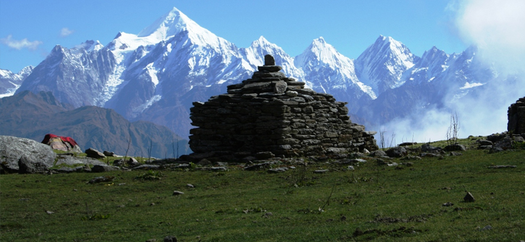
Sin La is the high mountain pass in Kumaon region of Uttarakhand. This pass is situated at an elevation of about 5495m and was an ancient trade route between India and Tibet. The level of difficulty at Sin La ranges between moderate to difficult. The trek for this high pass begins at Pithoragarh and covers Pangu, Sosa, Narayan Ashram, Sirkha, Gala, Budi, Gunji, Kutti and Jolinkong.
Mana Pass:
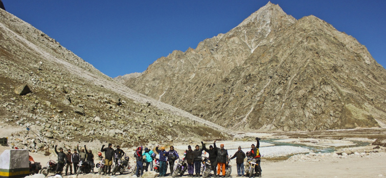
Standing at an altitude of about 5608m, Mana Pass lies is in the territory of Nanda Devi Biosphere Reserve in Uttarakhand. Like Marsimik La, Mana Pass is closed for civilians and is used by the Indian military and ITBP to carry supplies.
Charang Ghati:
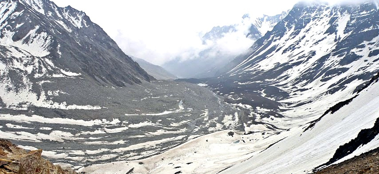
Charang Ghati pass is one of the most notable high mountain passes in Garhwal region of Uttarakhand. This pass, situated at an altitude of about 5242m above sea level, falls on the Kinnaur Kailash Parikrama. It connects Uttarakhand and Himachal Pradesh and offers splendid views of Kinner Kailash Peaks. The trail that leads to Charang Valley Pass is equally beautiful with green meadows, foaming streams and cattle farms.
Panpatiya Col:
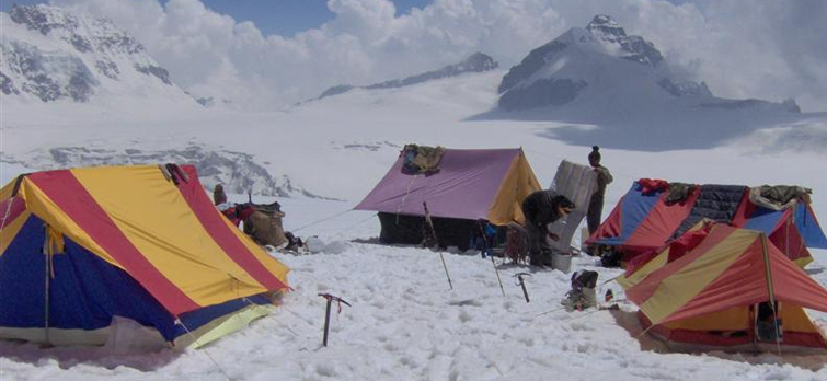
Panpatiya Col is an important pass as it bridges two crucial Hindu pilgrimage sites Badrinath and Kedarnath. The pass is situated at an elevation of 5260m and is often used by pilgrims during the pilgrimage season. The trek for Panpatiya Col crosses through many remote villages of Garhwal regions and is one of the most of difficult treks in Garhwal Himalayas region.
Popular Passes in Sikkim
Dongkha La:
Also known as Dinkia Pass, Dongkha Pass is situated at an altitude of 5486m above sea level. This pass is a bridge between the Sikkim and Tiber. Dongkha La is also an interesting trek and from here you can capture the scenic Tibetan plateau in the distance. This mountain pass is also near the famous Gurudongmar Lake.
 Published: 12 Mar, 2015By Arun Joshi
Popular Post
Category by Destinations
Recent Post
Enquiry Form
Get Customized Travel Quotes from Peak Adventure
Error: Contact form not found.




 +919212553108
 +919212553108
 +919212553109